Severe Weather Alert for May 19th
Posted by Ansen • May 19, 2025

Posted by Ansen • May 19, 2025
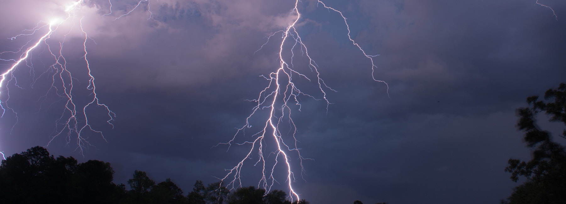
We are nearing the end of a multi-day stretch of severe weather potential today. The National Weather Service in Tulsa says that the severe threat will be highest today compared to previous days. Widespread severe weather is expected from early this afternoon through tonight as several rounds of thunderstorms impact the region.
Officially, a tornado watch has been issued for the entirety of the listening area until 7pm.
A powerful storm system will move through the area today with widespread severe thunderstorms expected by midday, first cross eastern Oklahoma spreading into western Arkansas by mid to late afternoon. Large instability and shear will support supercells capable of all severe hazards, including potentially high impact severe hazards such as very large hail and strong tornadoes. Another round of storms and some severe potential will accompany the cold front as it sweeps thru this evening. Some severe threat may linger into early Tuesday morning as well.
Additionally, rich moisture content will lead to heavy rainfall and flash flood potential as several rounds of thunderstorms impact the same locations through tonight. Some areas have seen recent rainfall of 2-5 inches already over the last two days with additional heavy rainfall causing localized flash flooding concerns across the region.
Some area schools are announcing early dismissals due to the storms. Keep up with the latest closings and cancellations due to severe weather on our closings page.


Press Play to Listen
And feel free to keep navigating the site–your favorite music or podcast will continue to play!
Open the Player
Click the expand icon to see what's playing, recently played songs, and more!